Esri recently became part of a memorandum of understanding with Digital Earth Africa to promote the use of data sciences to offer support and solutions that address the governance and commerce challenges faced by local organizations, according to a press release.
“Climate change is compounding risks of food insecurity, displacement and natural disasters across broad regions of the African continent, with vulnerable populations facing especially grave outcomes,” a recent press release points out. “However, several countries in Africa are already innovating and driving the next big tech sector boom, with companies creating solutions to close social and economic gaps.”
The purpose of the partnership is to develop a technological platform that would serve as a catalog of satellite images and other forms of earth observation data to predict the outcome of potential conditions. The content will be accessible via the comprehensive cloud-based platform, the Africa GeoPortal.
"We are proud to partner with Digital Earth Africa to make usable earth observation data more accessible," said Jack Dangermond, Esri founder and president. "This agreement supports the important work for sustainable growth that is taking place across the continent."
“Once collected, satellite imagery must be processed so that it meets the standards of consistency and accuracy that are required for scientific investigation,” a recent press release states. “Digital Earth Africa makes this data ready for analysis for the whole continent. GIS provides the tools and capabilities to create maps, apps and more, easily turning these images into actionable data.”
The collaboration is also intended to launch access to four decades worth of imagery of various weather conditions, such as flooding, drought and soil and coastal erosion to promote short- and long-term risk awareness.
“The imagery and data layers can be used to monitor agriculture, forest cover, land masses, water availability and quality, and variations within human settlements,” the press release continues.
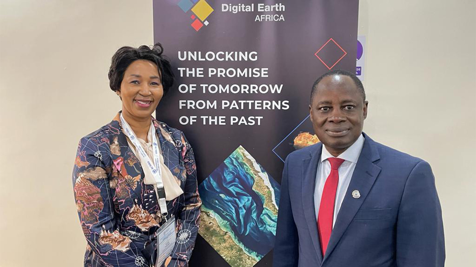
"We are producing decision-ready products with earth observation data," said Dr. Thembi Xaba, Digital Earth Africa's managing director. "Our platform and services enable African governments, industry and decision-makers to track changes across the continent to equip users to better plan for the future."
The collaboration will also reduce the cost and technological expertise requirements of earth observation data assessments, as well as “increase the discoverability and usage of content such as that from Digital Earth Africa through tools, data and learning.”